Quest for Gysin City
An abandoned mining town, occupied for only a few months back in 1895, and now ‘lost’ out in the forest of Northern New Mexico. It’s not located on any maps. The best locational information is an online reference that describes Gysin as being “1,300 yards west of Anchor.” And of course the town of Anchor doesn’t appear on any modern maps either.
Could it be found again, positively identified and located?
Fortunately my young son, Robert, and I had already solved the location of Anchor with the aid of a hand-drawn map from 1895. That map allowed us to puzzle through the problem of inaccurate information in a well-published ghost town book, and even to discover the important difference between the Anchor Mine, the Anchor Cabin, and the town of Anchor.
So we set to work with the maps again, matching that 1895 hand-drawn map to modern topo maps and identifying multiple possible locations that were approximately, “1,300 yards west of Anchor.” Then we drove to the nearest vehicle-accessible point and started our search. The first location, nothing. The second location, nothing. The third location nothing. Then we began a more meandering search, checking places where a person might reasonably start a town.
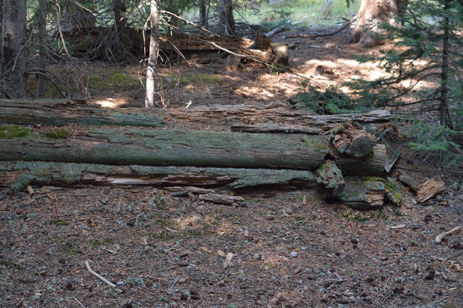
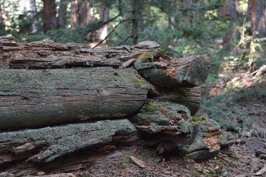
And sure enough, we stumbled onto multiple cabin foundations, shallow mine test pits, and dug trenches.


Was this the remains of Gysin? Or some other random mine with a miner’s cabin? This area is known to be practically covered in mines, prospecting pits, and cabin ruins including at least four other towns.
Is it even possible that there is not a trace of Gysin remaining today?
We may never know.
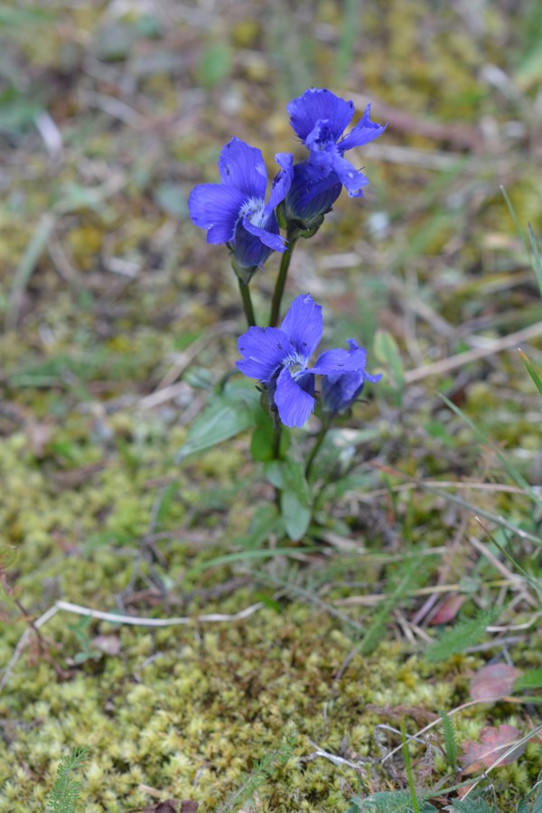
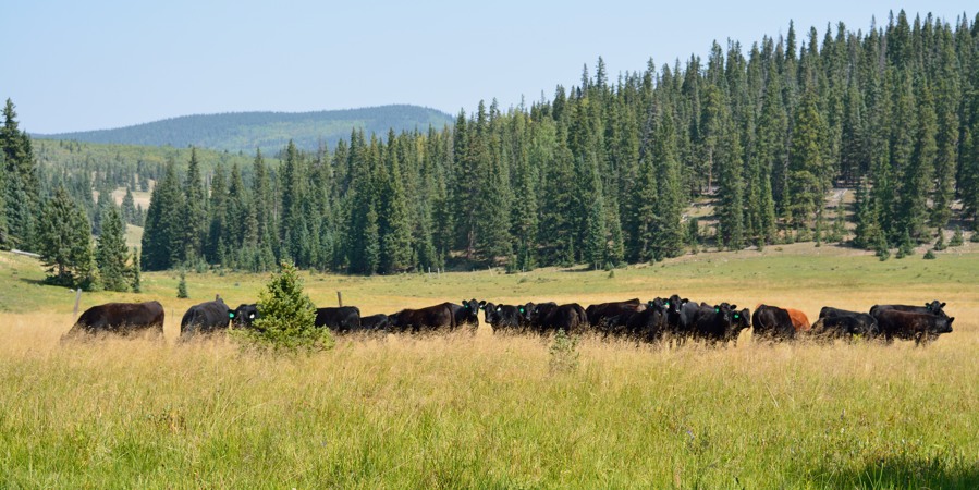
So despite not finding Gysin with any certainty, we did have a marvelous day out in the public lands. The wildflowers, interesting mushrooms, and herd of handsome cattle made the trip worthwhile.


